







Lloyd’s List Intelligence Adds Satellite Verification to Detect Vessel AIS Spoofing
Lloyd’s List Intelligence integrates satellite imagery with AIS spoofing detection to verify vessel location for enhanced maritime security.

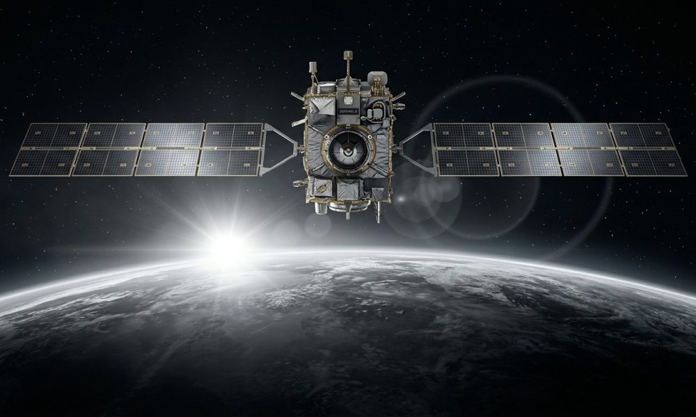
Lloyd’s List Intelligence has introduced Satellite Confirmed Spoofing within its Seasearcher platform, combining AIS spoofing detection with satellite imagery to verify suspected vessel position falsification. This development aims to provide maritime compliance and risk teams with independent verification of probable spoofing events.
Satellite Imagery Corroborates AIS Spoofing Alerts
AIS spoofing detection models analyse vessel and positional data to identify suspicious behaviour, but such assessments have been probabilistic. The new capability supplements these models by providing direct imagery evidence of a vessel’s actual location compared with its broadcast position.
Arne Staal, Chief Research Officer at Lloyd’s List Intelligence, highlighted that “deceptive shipping practices have moved well beyond going dark,” with vessels broadcasting false but plausible positions to evade scrutiny. The addition of satellite verification enables users to move from identifying probable spoofing to confirming these events with independent data.
Implications for Maritime Operations
The integration of satellite imagery into AIS spoofing detection can strengthen investigations by supplying corroborative evidence, enhancing vessel tracking accuracy and maritime domain awareness. This capability supports compliance efforts and risk mitigation in shipping operations where spoofing can affect supply chains and regulatory enforcement.
Lloyd’s List Intelligence positions this feature as a tool to improve transparency and reliability in maritime intelligence, helping stakeholders respond to increasingly sophisticated methods of vessel location manipulation.